Hiking trails
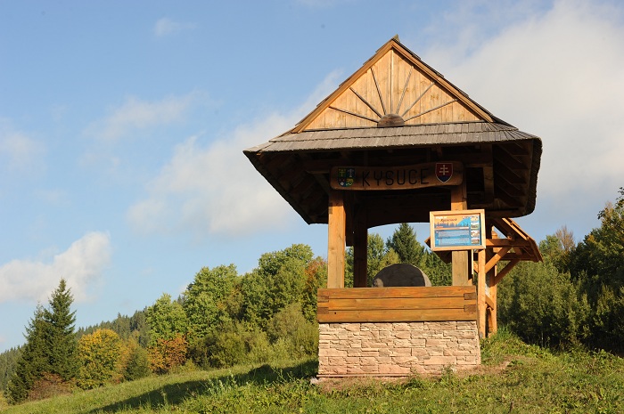
Kysucké rarity
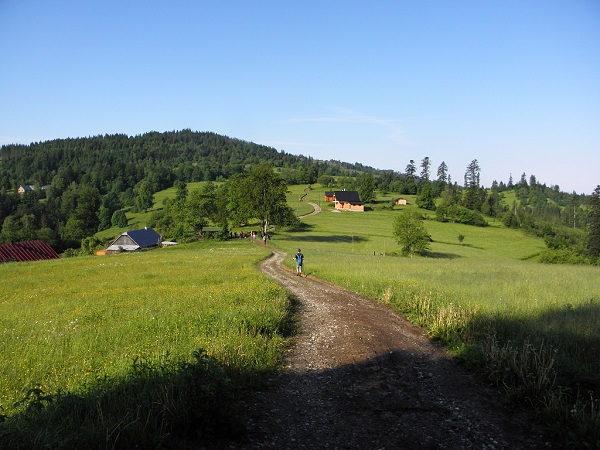
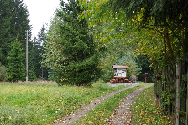
Characteristics: The circuit with one more demanding rise to Živčáková hill – Kysuce Lourdes, a well known pilgrimage place with a chapel and mineral water springs.
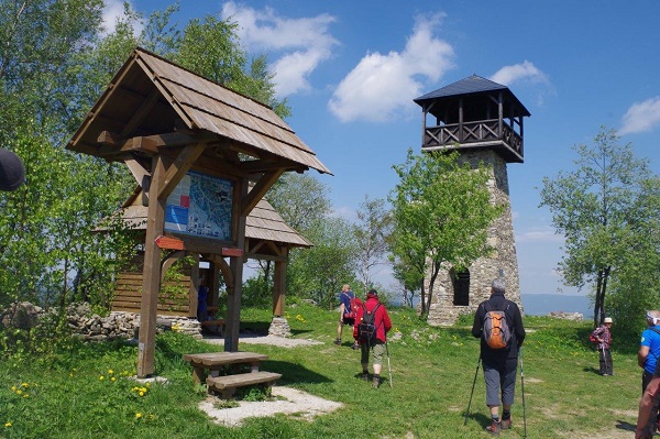
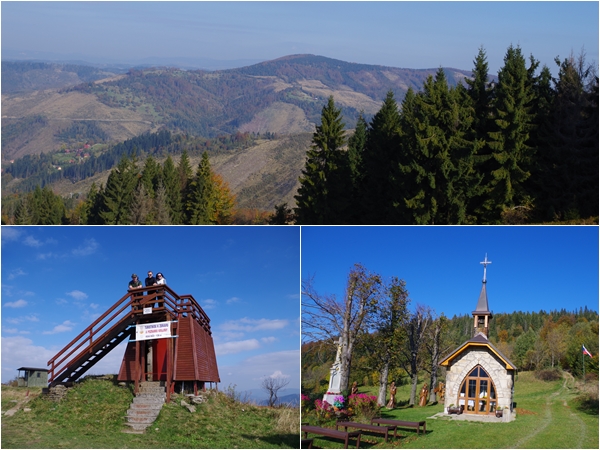
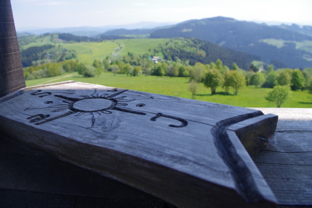
Although viewing towers cannot be considered natural creations or monuments, they will surely enable yo to savour nature and its beauties on the way to them. All of the towers in Kysuce open amazing views of the distant mountains, provided that the weather permits.

The educational trail starts on the square in the centre of Oščadnica. Walking 450m on a footpath next to the main road, you will reach the Šporcentrum facility (Penzión Gájuz, www.penzion.gajuz.sk), and there you are, at the start of the trail.
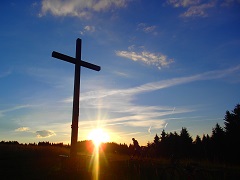
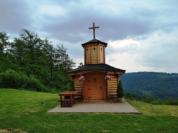
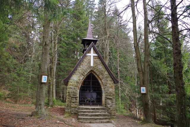
A Cross is one of the oldest and most powerful symbols in the world. Kysuce is a region with many of them - not only in front of churches and chapels, but along roads, hidden in lonely settlements, remote hamlets, on hills, meadows and on high peaks.
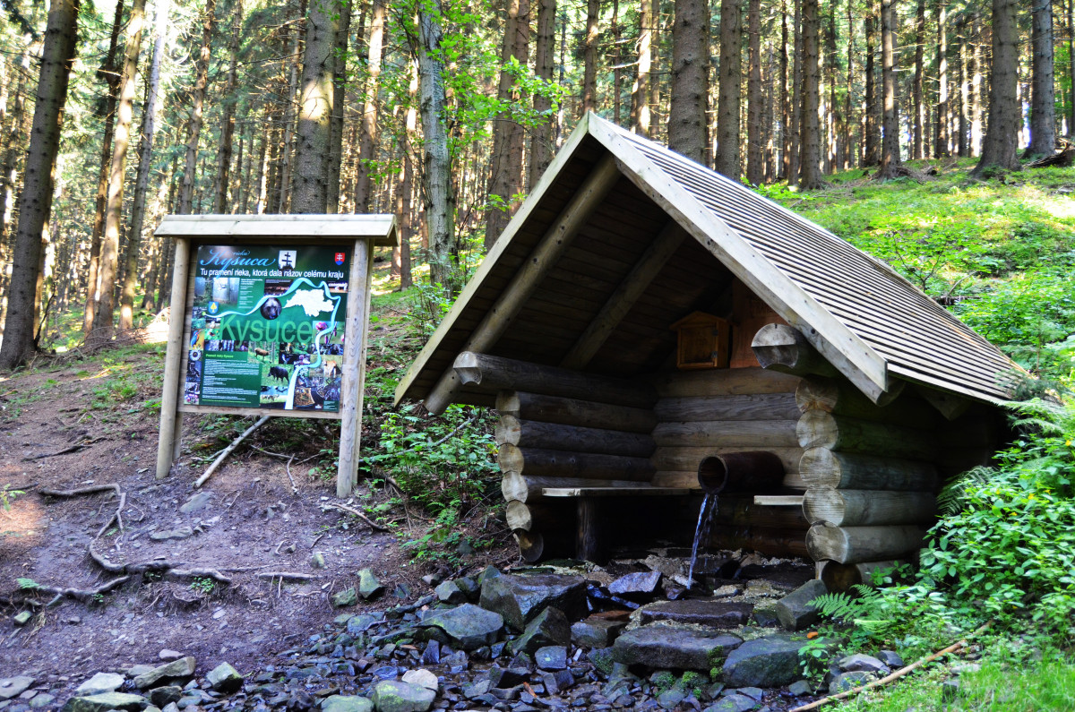
The source of the river that gave the name to the entire region can be reached by several routes.
Path length: 8.35 h, in the opposite direction: 8.10 h
Characteristics: The route leads through the Turzovská highlands and crosses the Moravian-Silesian Beskydy Mountains along the state border through Veľký Polom.
Path length: 6.9 km (yellow 8541 + green 5542), or 7.4 km (green 5542)
Path description: Oščadnica, Dedovka (yellow) - Príslop (2.7 km) (green) - Pod Hladkou (4.3 km) (green) - Cottages on Rača, junction (4.8 km) (green)- Veľká Rača, peak (6.9 km) or Oščadnica, Vyšný koniec (green) - Veľká Rača, peak (7.4 km)
Length: 11 km (Č 0840 + Ž 8570)
Path: Čadca, TESCO (Č) - Bryndzárovci (2.2 km) (Č) - Javorské (6.0 km) (Ž) - Oščadnica, nám. (11.0 km)
Length: 21.7 km (Č 0840 + Ž 8568) through Skalité to Zwardoň
Path: 2nd option: Čadca, TESCO (red) - Javorské (6.0 km) (red) - Za Liesková (9.8 km) (red) - Skalité (14.0 km) (red) - Skalité, Serafínov (20.8) (F) - Zwardoň, saddleback (21.7 km)
Length: 11.5 km (8.9 km from Megoňky)
Characteristics: You shall take a bus from Čadca to Milošová, U Kadlubca.
When wandering in the municipality of Oščadnica, you will come across a few chapels accessible either on foot or by bike. The paths suitable for all age groups will let you get acquainted with tiny hamlets scattered around the Oščadnica municipality.
Path: Vyšný Kelčov, Rieka (BUS) – TO Hluchánka (0.6 km, + 70 m) – TO Janošec (1.2 km, + 110 m) – Korytovo 861 m – TO Ch. Kmínek (2 km, +90 m, -70 m) – TO Volarská (1.3 km, -20 m) – Huslov – Pokravny – TO Nižný Kelčov (4.1 km, +80 m, -320 m, - BUS , the train).
Viewing towers in Kysuce rank among the most beautiful ones in the Czech and Slovak Republics. The one above the village of Zákopčie, on Marťák hill, was built in 2009-2011 from natural wood and stone.
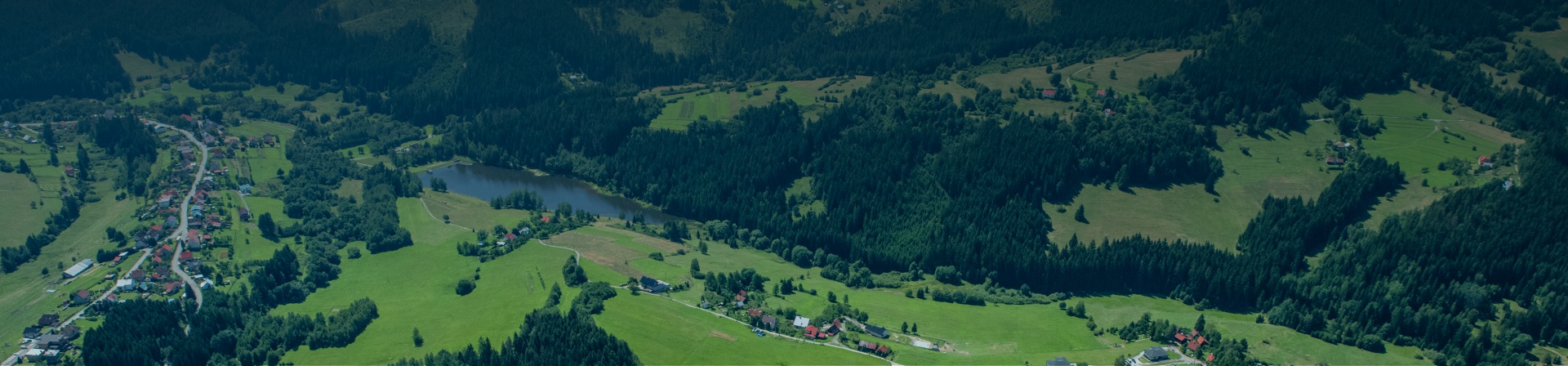
What to do in summer? How to spend the last days of holidays? The beautiful nature of Kysuce is the right place to make a trip and cure your soul.
Staškov is a birthplace of the famous Slovak actor Jozef Kroner. In addition to the renovated house where he was born, his home village has also built an Educational Path of Jozef Korner, and a Path of Jozef Kroner.
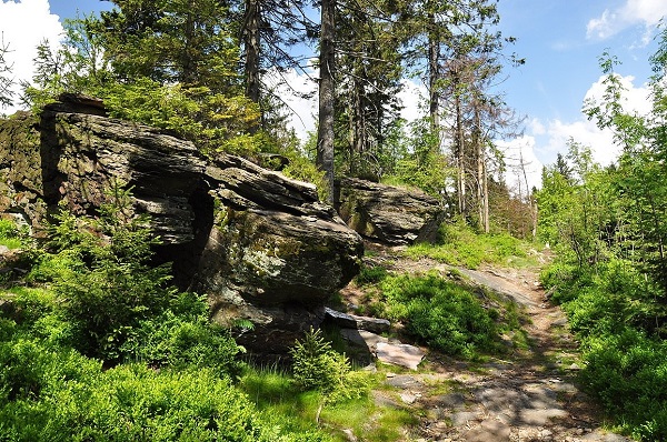
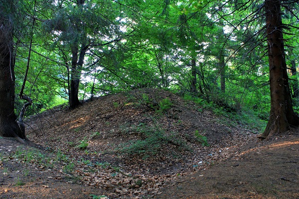
The nature reserve Klokočov rocks bears a few characteristic features such as occurrence of protected species of plants and animals, and a rocky wall of sandstone that hides a geological rarity - stone spheres.
There are places in the world that are somehow special, interesting, and attractive to people. Many of us would call them wonders. The region of Kysuce can be proud of a few locations like that.
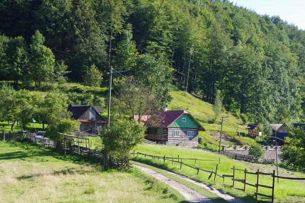
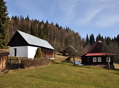
A pleasant walk from the centre of Čadca will lead you to the adjacent settlement of Kýčera where you will find both, original permanently inhabited houses and newly refurbished holiday cottages. The settlement has its own cemetery, which is a real rarity.
The origin of the name Biely Kríž (the White Cross) is associated to several stories. One of the guards protecting the border from tobacco smugglers might have died violently here, or the plague could have killed several of them, or whatever might have happened here, the origin of the place is interesting.
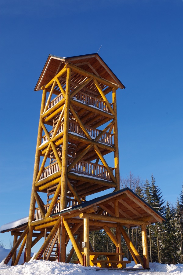
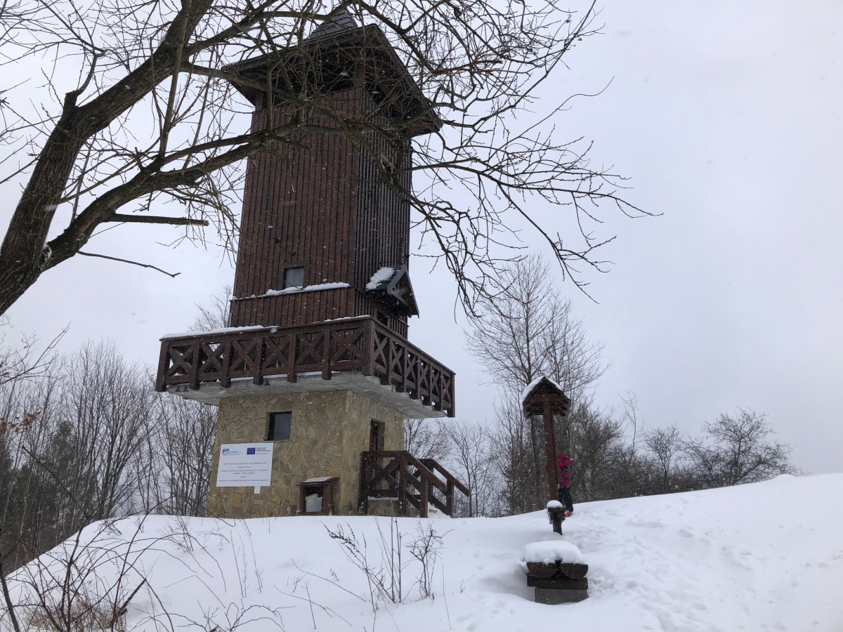
The peak of Tábor with an altitude of 697 m above sea level is the dominant feature of Kysucké Nové Mesto. Since 2015, a massive, four-story wooden construction has been towering on the hill.
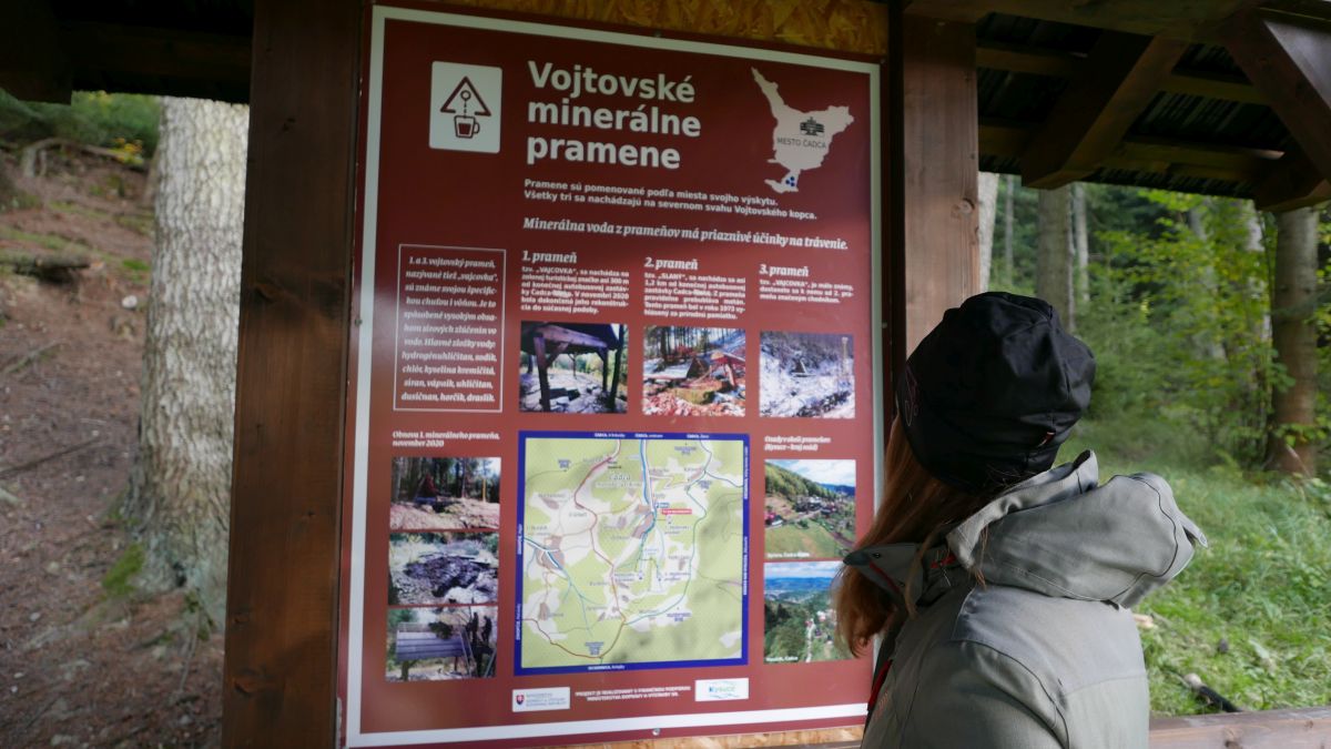
There are three important natural monuments on the territory of Čadca. The magic stone spheres in Milošová - Megoňky and the Bukov mineral water spring, and the Vojty water springs. Since 2012, an educational trail leads to the three mineral springs.
Veľký Polom, the highest peak on the Slovak side of the Moravian-Silesian Beskydy Mountains, is located in the cadastre of the municipality of Raková.
The Church in the cenre of the Municipality of Zákopčie is a connection point to the Beskydy - Javorníky cycling route. The connecting trail goes towards the cemetery along the road to the cross at Krátkov settlement.
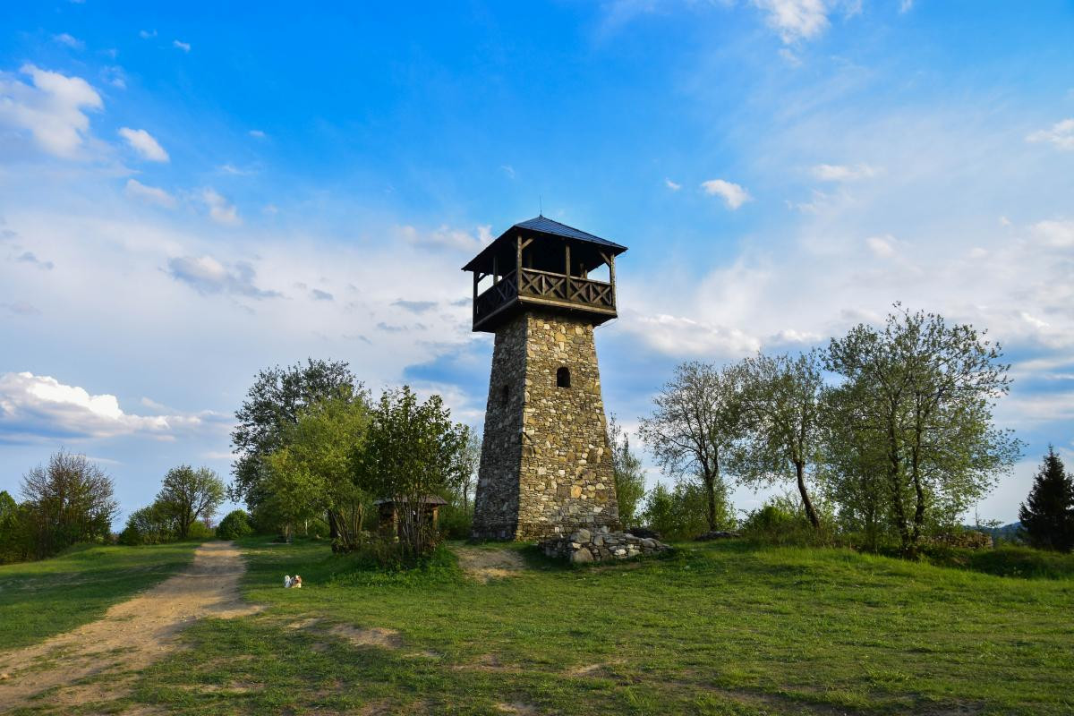
The construction of the observation tower in Petránky - Marťakovský kopec was completed in September 2011. It is built from traditional materials - stone and wood.
The observation tower on the Bobovec hill is placed at an altitude of 720 m above sea level on the border of the cadastres of Stará Bystrica and Radôstka, and it is visible directly from the main road.
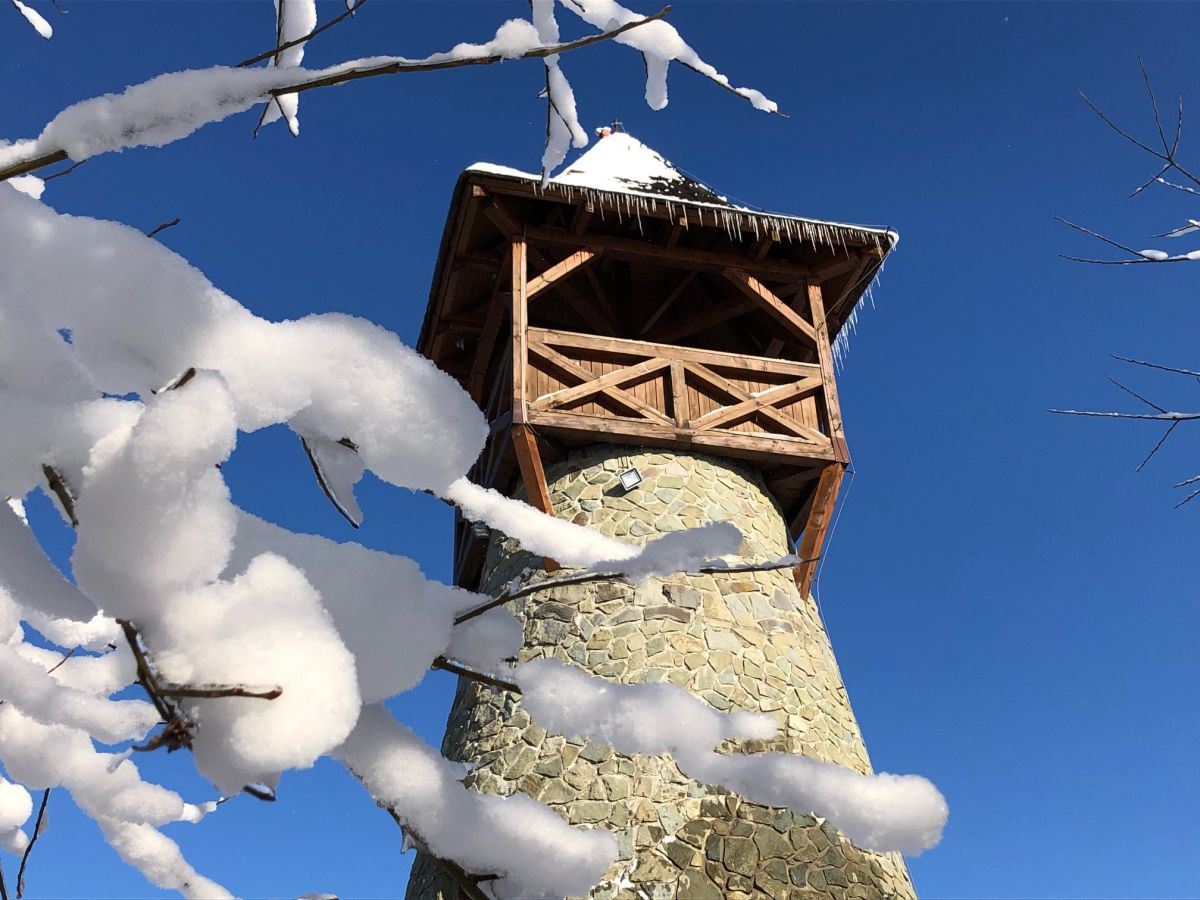
Cold winter days expressly ask for good idea of hiking. It is not always sunny you can go hiking at any time, even when it is snowing. Of course, you are expected to consider your strengths and choose something less demanding. The lookout tower near Jantov in Krásno nad Kysucou seems to be the right place for a pleasant winter hike.
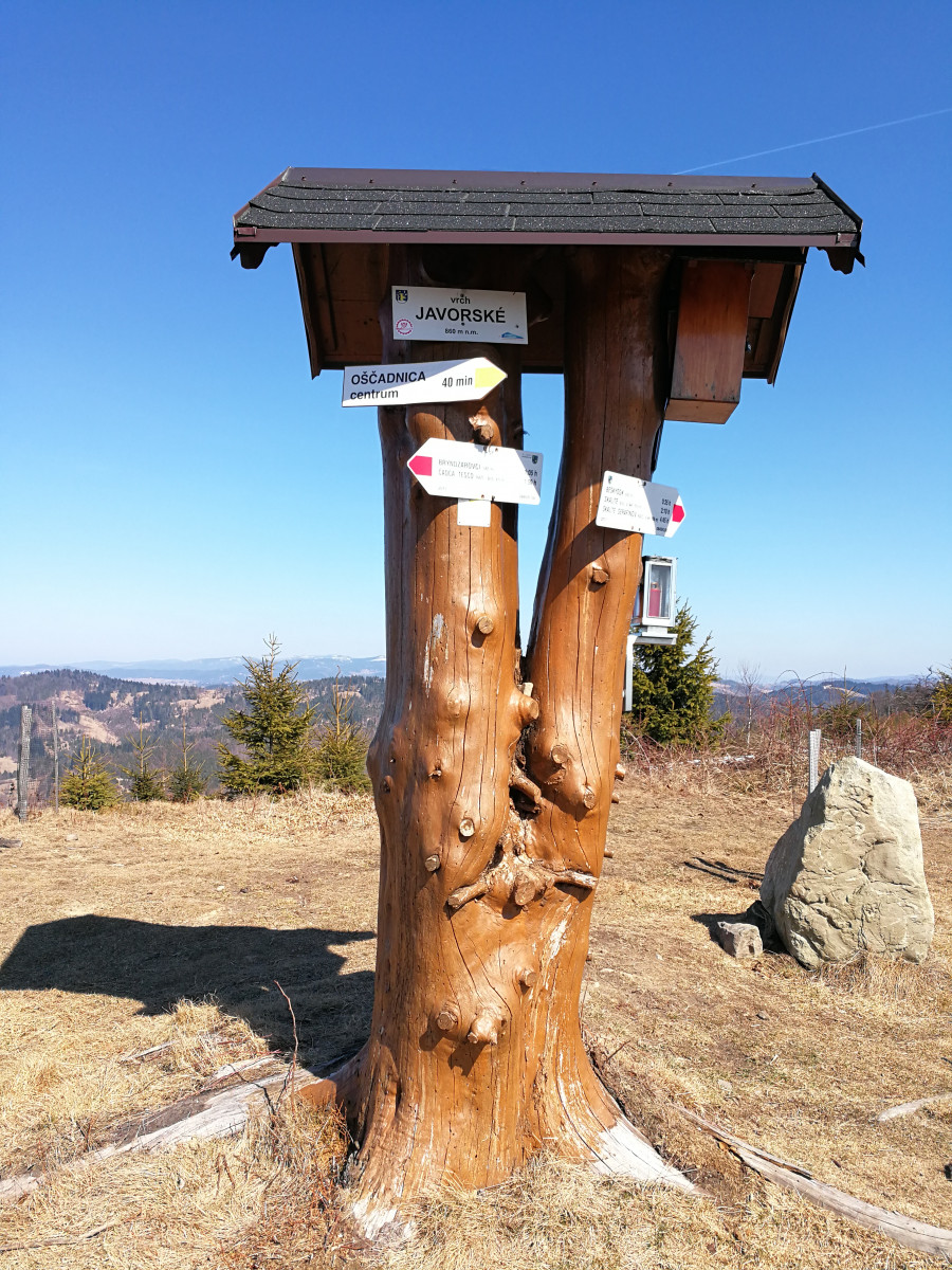
At the altitude of 860 m above sea level, Javorské is the second highest peak of the Javorské Beskydy (part of the Kysuce Beskydy). It is a massive peak formed by rich sediments of claystone and sandstone of the flysch zone. This massive ridge stretches in the southwest from Čadka to Skalité in the north separating the Oščadnica and Čadečka valley.
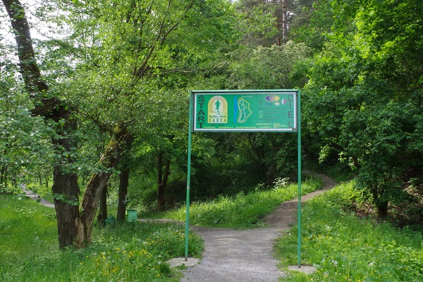
The running circuit known as ŠERÍK’S RUNNING CIRCUIT is situated on the left bank of the Kysuca River in Čadca (opposite the swimming pool). It can be used for jogging and for relaxing as well. The running circuit is 1 km long.
The educational trail of Jozefa Kroner is situated in village Staškov, 7 km from the district town Čadca. It begins at the municipal authority (there you can park your car), goes along Kysuca river and over a footbridge to the house of Jozef Kroner.