 Path length: 8.35 h, in the opposite direction: 8.10 h
Characteristics: The route leads through the Turzovská highlands and crosses the Moravian-Silesian Beskydy Mountains along the state border through Veľký Polom.
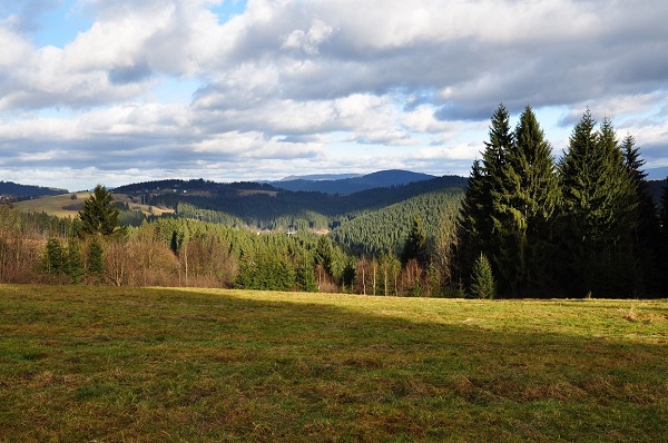
The views from several places along the whole route are stunning, moreover, you have an opportunity to see two nature reserves – the Klokočov rocks and Veľký Polom. Although it is quite a long hike, it is not demanding, and the climbs are relatively gentle.
Path description: Turzovka (475 m a.s.l.) – Košariská (675 m a.s.l.) 1.15 h – settlement Hlinené (737 m a.s.l.) 2.05 h – Hlinené (860 m a.s.l.) 2.40 h - Nad Fučkovcemi (750 m a.s.l.) 3.10 h – Hrubý Buk (595 m a.s.l.) 3.40 h – Uhorská (1000 m a.s.l.) 5.15 h – Čuboňov (935 m a.s.l.) 5.35 h. Kurajkou (660 m a.s.l.) – 8.05 a.m. – Raková – Korcháňovci (535 m a.s.l.) 8.35 a.m.
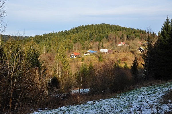
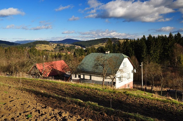
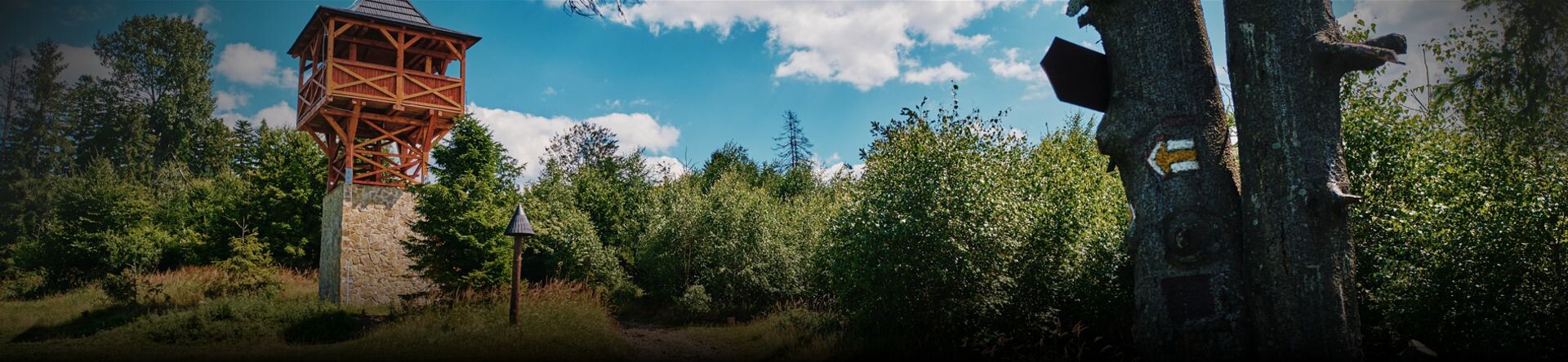
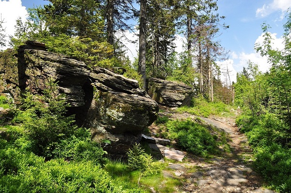
The starting point is the railway station in Turzovka. Blue marked tourist path no. 2670 will lead you to the settlement Čuboňov. Having passed through the city, you reach the road bridge over the Kysuca river, where the yellow marked path turns. You shall begin ascending through the settlement of Košariská (view of the settlement of Klokočov – Riečky) to the junction above the settlement of Hlinené where you will be welcome by nice views of Olešná highland settlements. If you continue walking a short distance past the settlement, you will enter the forest to reach the top of Hlinené hill where you can have a rest on a nice meadow. You shall then descend along the ridge on the red marked tourist path no. 0841 to the junction Nad Fučkovcami, you shall leave the red sign and continue along the blue sign to the Hrubý Buk settlement (BUS). Right at the transformer, you shall turn left, climb a few meters and there you are at the Klokočov rocks nature reserve. When you get out of the forest, you will be on the open terrain with views of the Kornica ridge. Crossing the farmsteads Zajacovci and Fujákovci (0.5 km west is the nature reserve Polková), you can climb the peak of Uhorská at an altitude of 1,000 m above sea level. The peak is out of the planned trail, but excellent views from the saddleback below the peak are worth the ascend (you will follow the green marked tourist path No. 5540 to the village of Vrchpredmier along the old military road, built by the Germans during the Second World War to transport artillery to the top of the hill). When you have reached the part Čuboňov on the state border with the Czech Republic, you can continue along the red marked tourist path mostly through the forest below Burkov hill and Muřínkový hill to a saddleback with a nice chapel and a source of excellent water. After a short, steep climb up the rocky slope, you will reach the highest point of your hike - Veľký Polom (an outstanding lookout point, 1,067 m above sea level with nature reserves on both sides of the border between the Czech and Slovak Republic).Walking on blue marked tourist path no. 2672 you will get to the junction, you shall continue down the blue mark past the settlement Na Kurajkou to the bus stop Korcháň (administratively belonging to the village of Raková).