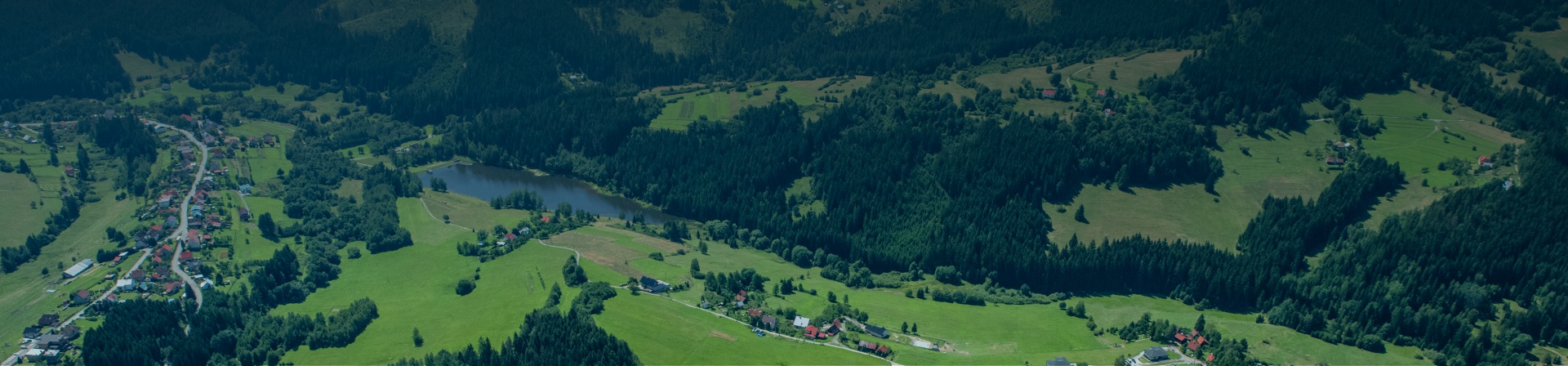
Towns and villages
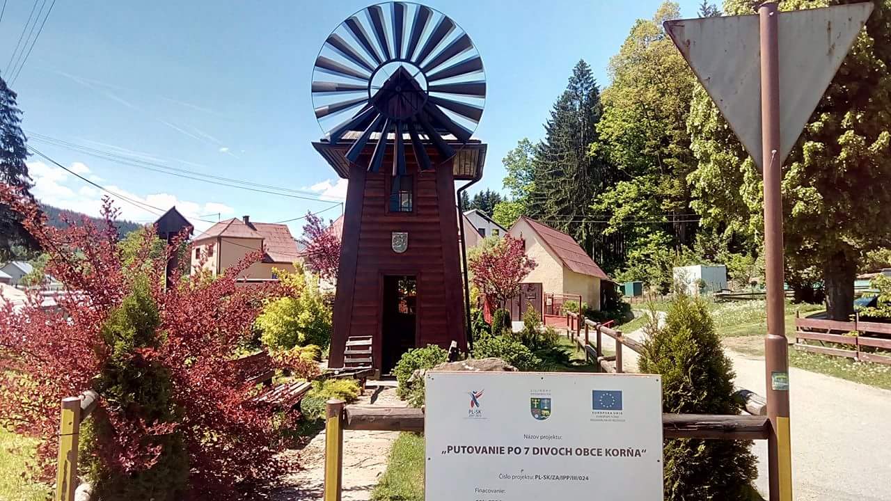
The village of Korňa lies in the north of Slovakia in the Turzovka highlands at an altitude of 559 m above sea level. The village was a part of Turzovka until 1954 when it became an independent municipality joining the settlements of Nižná and Vyšná Korňa.
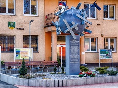
The municipality of Olešná makes an integral part of the Beskydy Euroregion that consists of municipalities and cities of the Slovak, Czech and Polish republics.
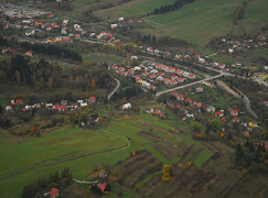
The municipality of Podvysoká is a part of the Beskydy Euroregion formed by the municipalities and cities of the Slovak, Czech and Polish Republics. The village covering the area of 5.61 km² lies at an altitude of 460 meters, between the village of Staškov and the centre of the upper part of Kysuce - Turzovka.
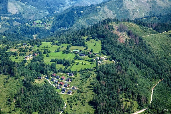
Zákopčie is situated in the district of Čadca in the north western part of the Javorníky mountain range. The characteristic feature of the village are dozens of settlements scattered around the surrounding the hills above several valleys: Holov, Kordišov, Rulcov, Polievkov and Kľukov. The altitude ranges from 470 and 875 m above sea level.

The village of Dunajov is located on both banks of the Kysuca River at an altitude of 373 m at the border of Kysucké Beskydy and Javorníky mountains.

The village with more than 400 years of history is to be found in the upper part of the Kysuce Region, close to the town of Čadca, and the villages of Čierne and Mosty u Jablunkova (CZ).
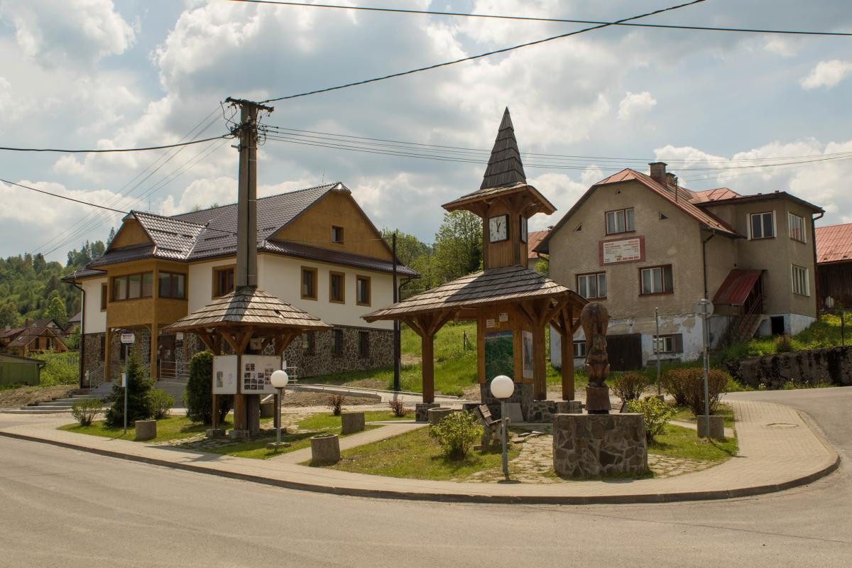
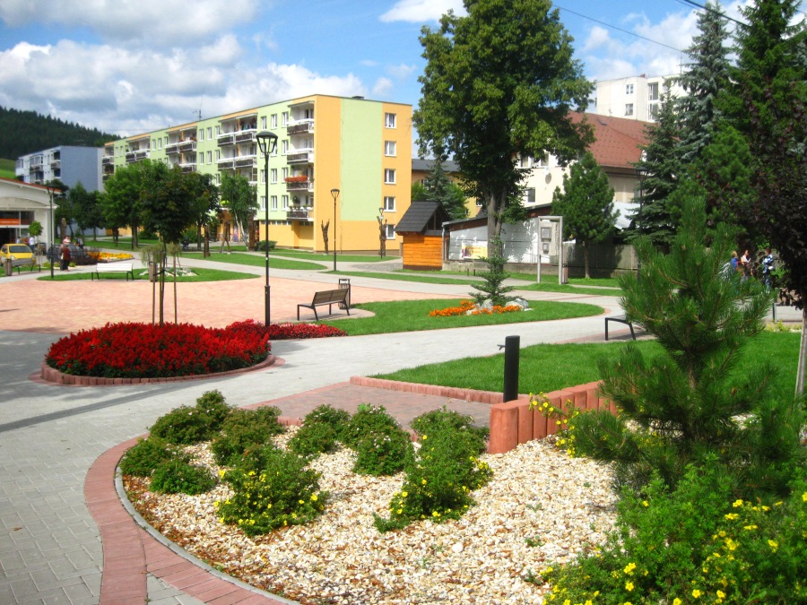
Established in 1991, Krásno nad Kysucou is the youngest town in Kysuce In 2021, it celebrated the 20th anniversary of obtaining the status of a town and it is proud of its rare monuments attracting tourists.
Čadca lies in the north-western part of Slovakia. It is the centre of the Kysuce region. It lies near the border of the Czech Republic and Poland and therefore Čadca is the north-western gate to Slovakia. It has more than 25,000 inhabitants.

Čierne lies in north-western Slovakia, in the Kysuce region. Three countries– Czech Republic, Poland and Slovakia - meet in the territory of the village. The meeting point is called Trojmedzie.

In the past, Klokočov used to be part of Turzovka (1598), the oldest settlement of Upper Kysuce. Turzovka was divided into 4 separate villages on 15 May 1954 and Klokočov was one of the villages.
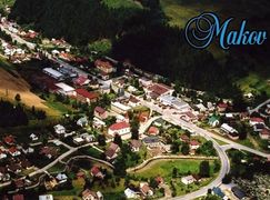
Makov lies in the foothills, in a valley between the Javorníky Mountains (with the highest peak Veľký Javorník 1,070 metres above sea level) and the Kysucké Beskydy mountains.
Oščadnica is one of the most important centres of summer and winter tourism in Slovakia, situated under the massif of Veľká Rača (1,236 metres above sea level) – the highest peak of the Kysuce region.
The village was mentioned for the first time in a map of the southern border of Tešín shire before 1620, which is maintained by the Sliezske Museum in Opava.
Staškov lies in north-western Slovakia in the Upper Kysuce region. The River Kysuca flows through the village. It was settled during the colonisation in the middle of the 17th century.
Skalité lies on the Slovak–Polish border, several kilometres from Trojmedzie – the place where three countries meet (Slovakia, Czech Republic, and Poland).
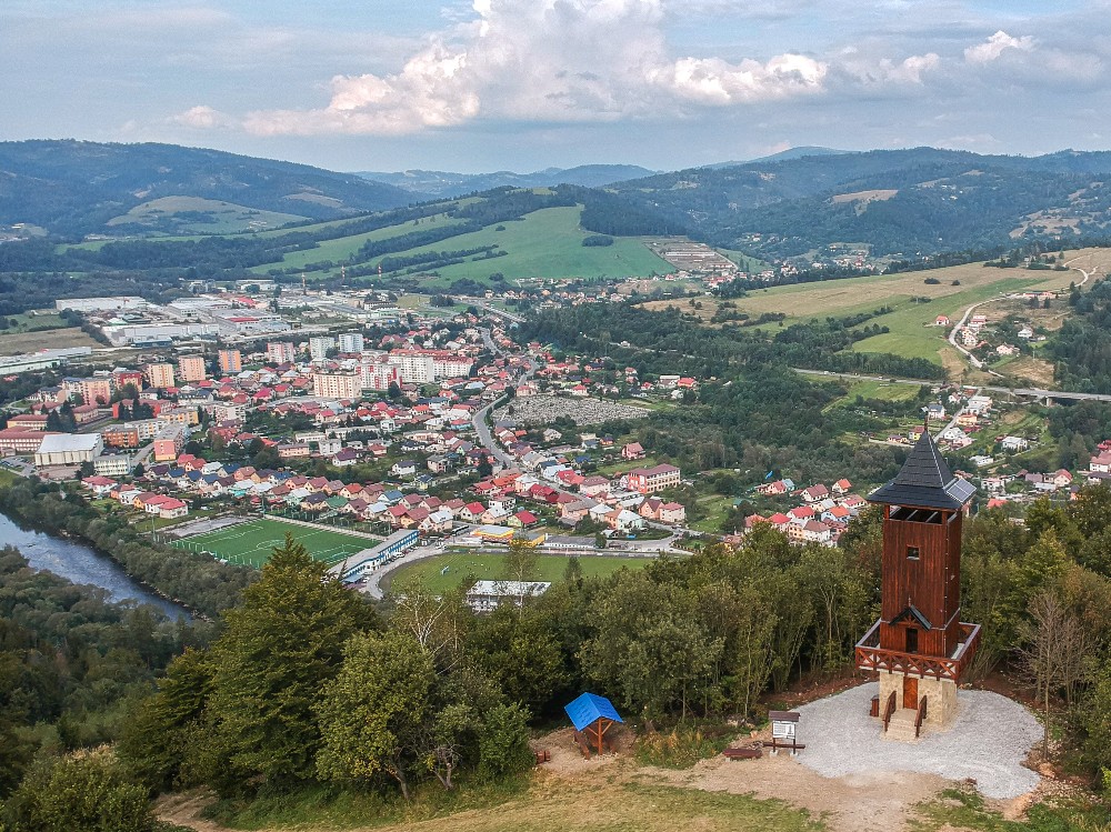
The town lies on the banks of the Kysuca River surrounded by the foothills of Beskydy and Javorníky Mountains. The Javorníky Mountains consist of Nízke (Low) Javorníky and Turzovská Highland.
The altitude of the town is from 460 to 875 metres above sea level.
Vysoká nad Kysucou is a typical village with secluded settlements and places (“pľac”) scattered in picturesque nature, suitable for a very peaceful holiday. It lies in upper Kysuce. It is known for its tinker tradition.