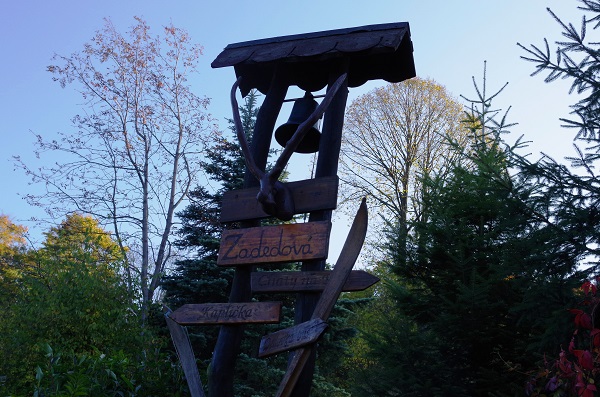
 Path length: 6.9 km (yellow 8541 + green 5542), or 7.4 km (green 5542)
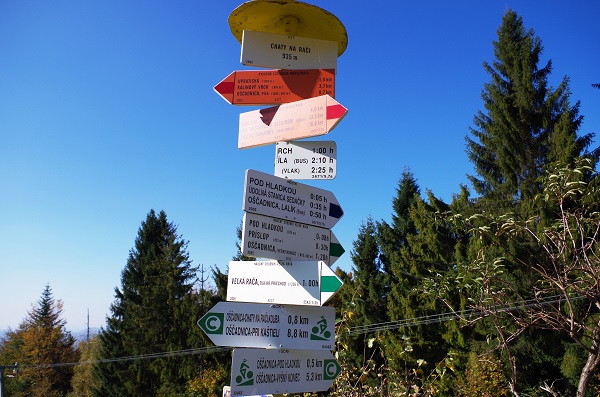
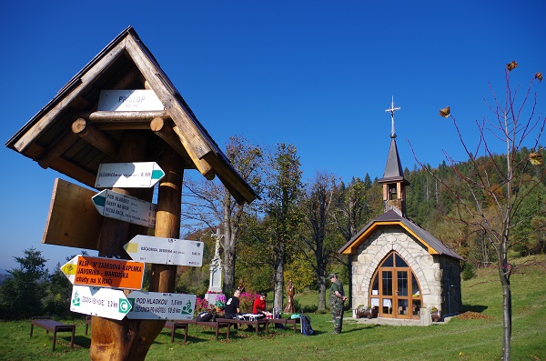
Path description: Oščadnica, Dedovka (yellow) - Príslop (2.7 km) (green) - Pod Hladkou (4.3 km) (green) - Cottages on Rača, junction (4.8 km) (green)- Veľká Rača, peak (6.9 km) or Oščadnica, Vyšný koniec (green) - Veľká Rača, peak (7.4 km)
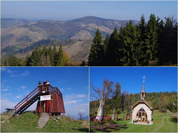
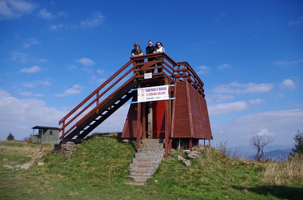
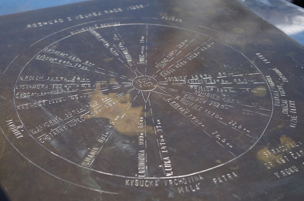
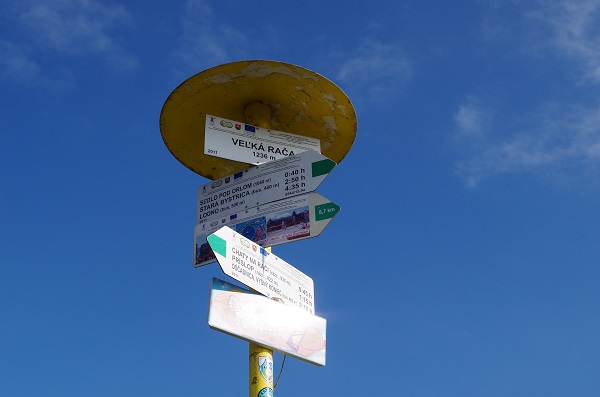
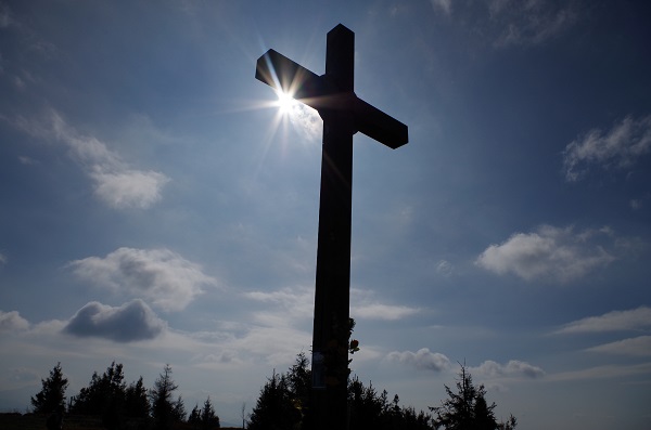
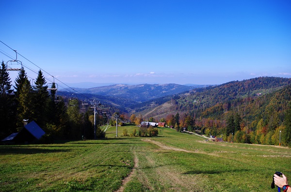
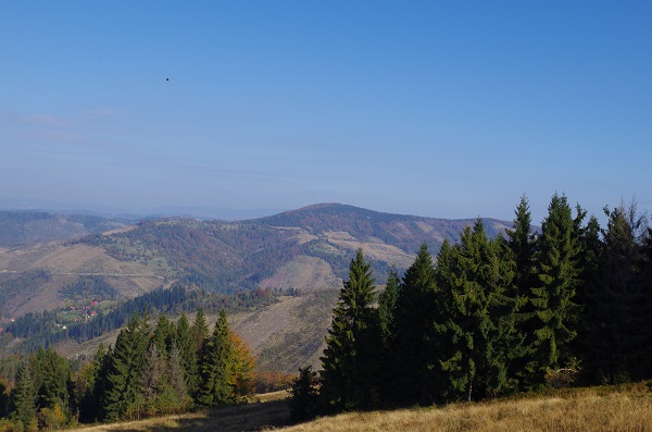
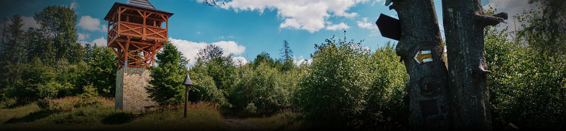
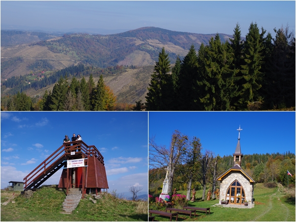
Characteristics: The highest peak of Kysuce, Veľká Rača with an altitude of 1,236 m, is on the border with Poland. The ascent from Dedovka, following the yellow marked path to the last stop at the top of Veľká Rača with a 630-meter elevation gain, takes approximately 2 hours. It is easily accessible in summer and winter on cross-country skis on marked hiking trails. On the way to the top, you can see examples of pseudocarst phenomena - the Small Rock Hole (9 m long) and the Great Rock Hole (22 m long), unique in the area Kysuce. The main ridge forms an important European Danube-Vistula watershed. On the top, you can enjoy nice circular views from a small lookout tower and have some refreshments in a Polish tourist hut open year-round.
Gallery