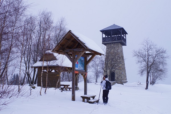
 Nordic skiing, its benefits and impact on our health needs no closer introduction. Movement in the fresh air energizes both, our body and soul.
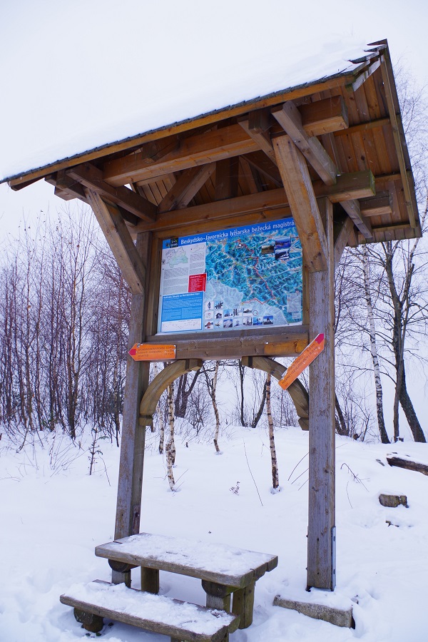
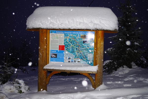
You can enjoy active movement and beautiful natural sceneries on the cross-country route Beskydy – Javorníky, which connects the peaks of the Javorníky ridge between Čadca and Makov.
The main route of the highway is more than 50 km long and is divided into 8 sub-routes which are continuously groomed by snow ploughs depending on the snow conditions (except for the 10.1 km Sedlo pod Hričovec - Bumbálka route and its connecting trails).
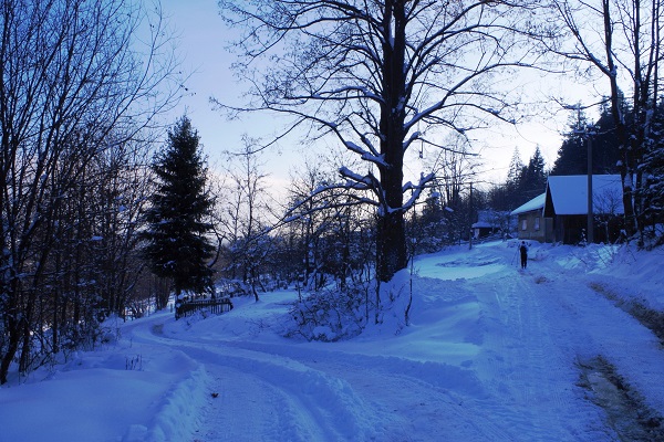
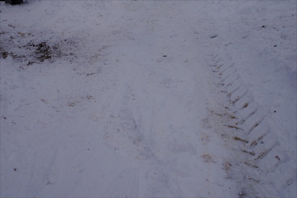
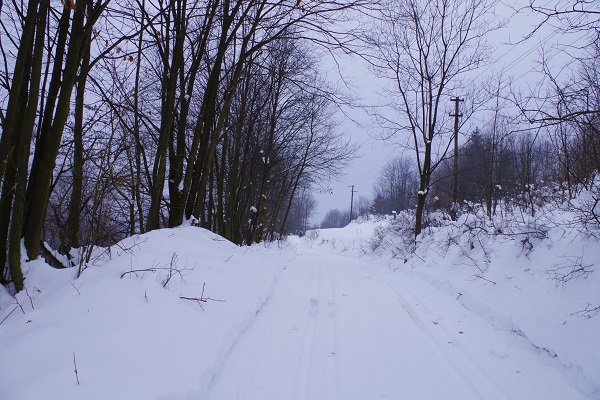
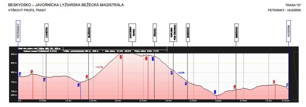
The route Petránky - Husárik (G) is 8.1 km long. The starting and the main orientation point is at the mountain hotel Husárik towering above the town of Čadca. There is no bus connection to the place, but it can be accessed comfortably by car, taxi or just on foot on the asphalt road (a 4km hike from the town centre might be a pleasant one. Parking is provided only in the hotel area. The well-maintained route starts right above it. However, the road is also a local communication line to the scarcely inhabited settlements nearby, it is therefore necessary to count on rutted "tracks" or a passing car.
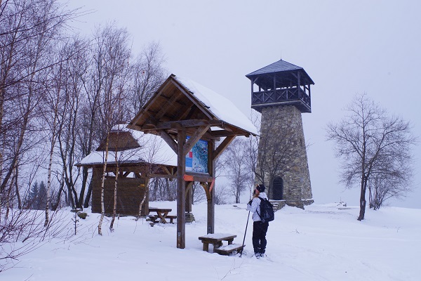
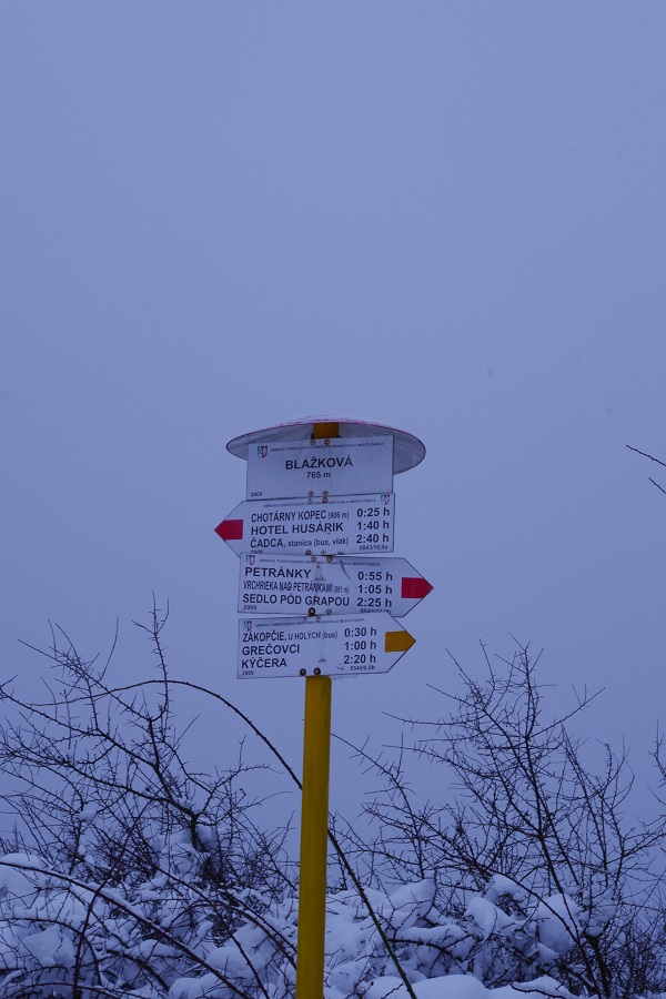
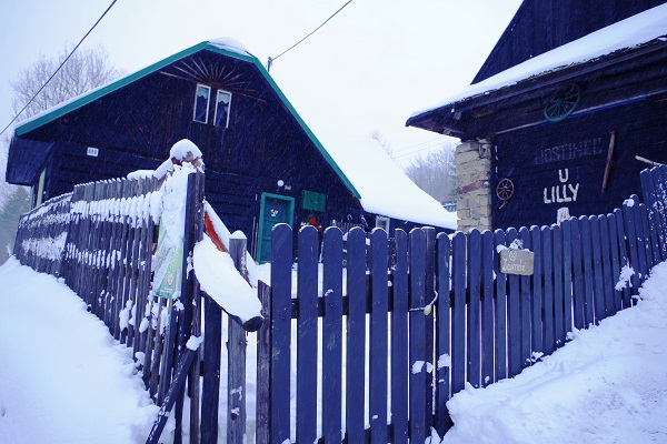
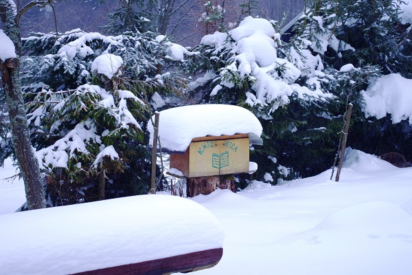
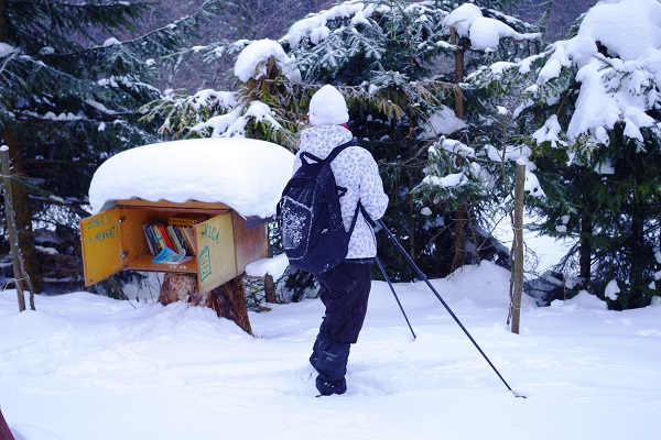
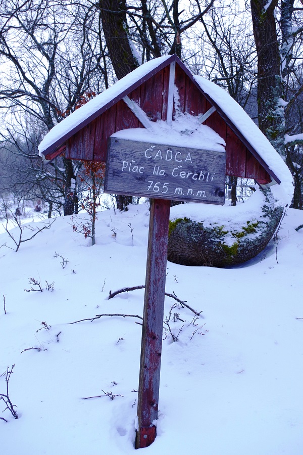
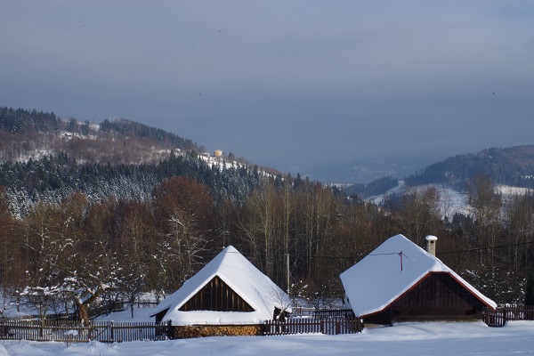
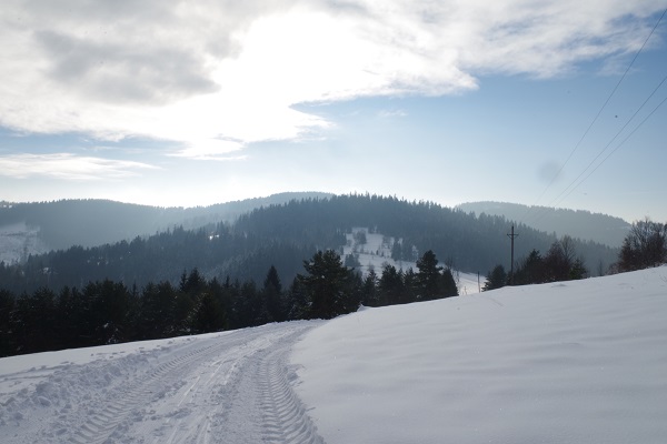
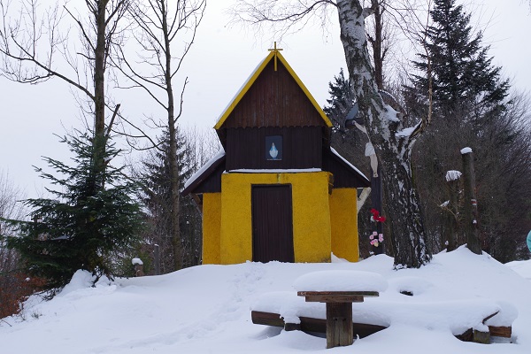
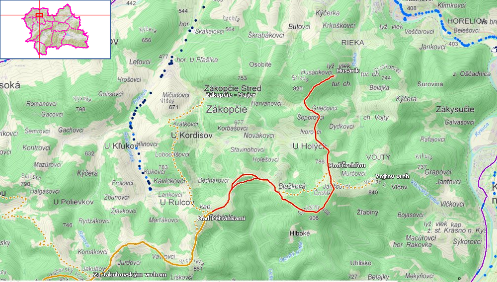
The route alternately leads through mountain meadows with scattered settlements and forests. The views of Javorníky and the Moravian-Silesian Beskydy Mountains open wide here. Ascending for approximately 3km from Husárik, you will reach the yellow chapel on Črchľa where you can decide either to continue along the maintained route to Chotárny hill (ascend), or you can go below the route via the traverse (following the green marked trail). The trail is not maintained but is easily passable. If you take the lower route, notice the local buffet/inn (don't expect it to be open) in the part marked Pľac na Čerchli with an interesting outdoor library in nature. If you like any of the books there, you can simply take it home. As you come out of the forest, the settlement of Blažková will appear in front of you. You will get on to the maintained trail and continue uphill (1.8 km) to Marťák´s hill where one of the most beautiful lookout towers in Kysuce was erected in 2011. WARNING! As the route bypasses the lookout tower, you will have to exit the marked route to reach it.
The observation tower gives a circular view of the wide surroundings - the Zákopčie valley, the Moravian-Silesian Beskydy Mountains, Veľká Rača, the Kysuce Highland, the Low Fatra. If you have enough energy, you can continue towards Semeteš (18 km), or stop at Jakubovský hill and descend to Turzovka. The blue tourist sign from Petránky to Kysucké Nové Mesto is another option. You can descend to Zákopčie and return to Čadca by bus (Zákopčie - U Rulcov; Zákopčie - U Holých) or follow the same route and return to Husárik on skis. A tourist map or GPS navigation can be a fine help when planning your journey.
The altitude profile can be downloaded here.
Trail rating:
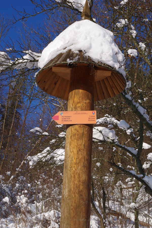
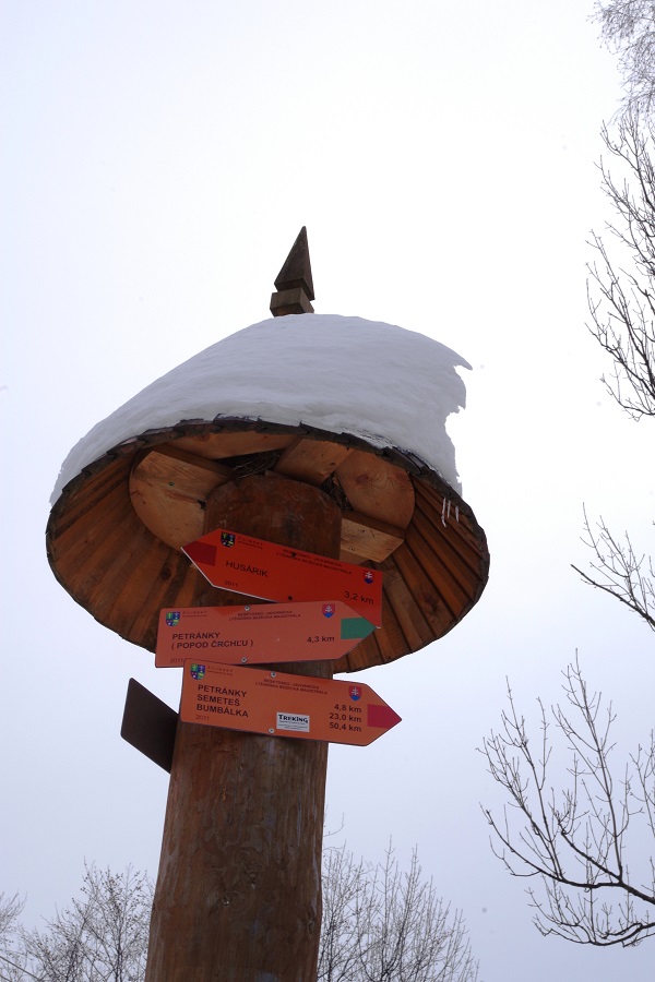
The trail passes through the beautiful nature of Kysuce. The lookout tower on Marťák´s hill above the Petránky settlement is a key point of the trail. Almost the entire first three kilometres (in the direction of Husárik) can be rutted by cars (including those whose owners damage the maintained trail on purpose) and tractors (doing maintenance in the settlements). Be careful if the tracks are frozen. Chotárny hill can be traversed (orange dots on the map on the section Pod Črchľou - Blažková). Orientation in the terrain is quite easy - a red marked tourist trail and poles with orange signposts are installed through the entire section.
You can find more information about the Beskydy - Javorníky cross-country skiing route, including their maintenance here
Fotogaléria: