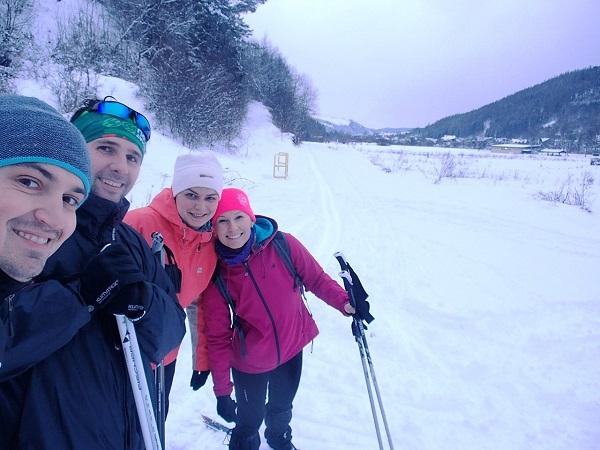
 Are you new to cross-country skiing, have no experience and look for a suitable terrain for beginners? Or you already have some cross-country skiing experience, but the descents still hurt?
Climbing up the hill is not among your favourites, you are not a fan of high altitudes, but you feel like a fish in water on flat route? Are you an experienced cross-country skier and want to improve your technique, time and fitness?
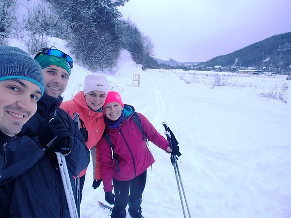
For all of you - recreational cross-country skiers, endurance skiers and complete beginners, the Bystrica route is the right one.
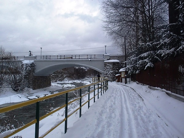
The Bystrica cycling route is well known to many, especially during the summer season, as a popular cycling route leading from Krásno nad Kysucou to Nová Bystrica. The route winds along the construction of the former forest railway which used to connect the regions of Kysuce with Orava. Even in winter, it does not lose its popularity and is sought after by cross-country skiers from all over the region and its surroundings.
Characteristics:
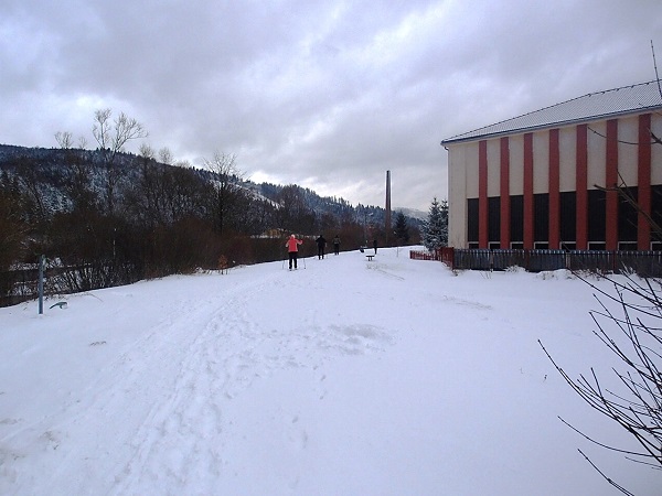
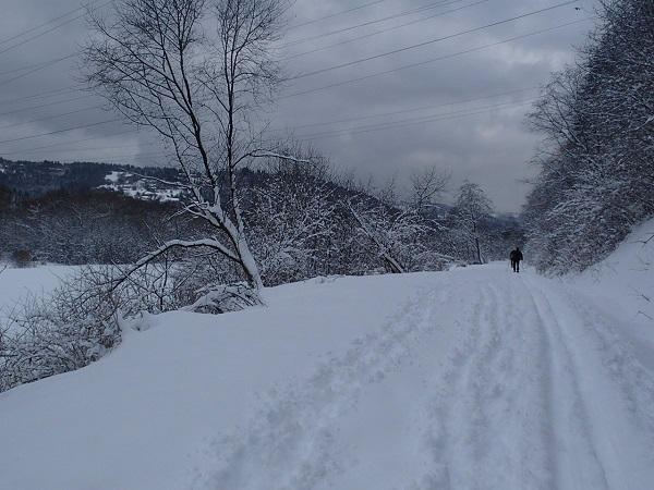
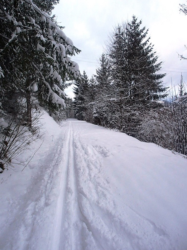
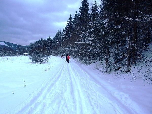
The Bystrica route is 15.5 km long. In good snow conditions, it is regularly groomed by a machine to be in perfect condition for Nordic skiers. However, you can use the route even if it is not groomed, e.g., during prolonged snowfall as cross-country enthusiasts "tread" their tracks themselves. Deep wet snow can stick to your skis, so be sure to wax them before.
The route runs along the river Bystrica mostly in the forest, sometimes through housing areas. Since the route is mostly hidden among the trees, the snow remains longer, and the surface tends to be faster in the shade. Do not underestimate the changing conditions and wear the appropriate clothes.
The degree of incline of the route is 120 m along the entire length, you don't have to worry about any significant descents, climbs and falls. Someone may be "bored" by such an easy terrain and prefer cross-country skiing in the Javorníky or Kysucké Beskydy (Beskydsko - Javorníck cross-country skiing route, International Trail of Health or the Kysuce route in Oščadnica). It is the best to try the charm and the unique atmosphere of the trail and judge it on your own.
Since the route is widely used by hikers and dog walkers, it is necessary to be considerate of others either from a position of a cross-country skier or a hiker (do not destroy the groomed trail, avoid the others in safe distance).
You are recommended to take a small snack with you, the buffets along the route are only open during the cycling season. Refreshments are available in restaurants in the municipalities along the route.
Access:
The Bystrica cycling route winds from Krásno nad Kysucou through Zborov nad Bystricou, Klubina, Stará Bystrica to Nová Bystrica. The route can be accessed easily from all the mentioned municipalities (by bus and car). If you use a map, follow the red marked tourist sign 005 - Kysucká cyklomagistrála on this section.
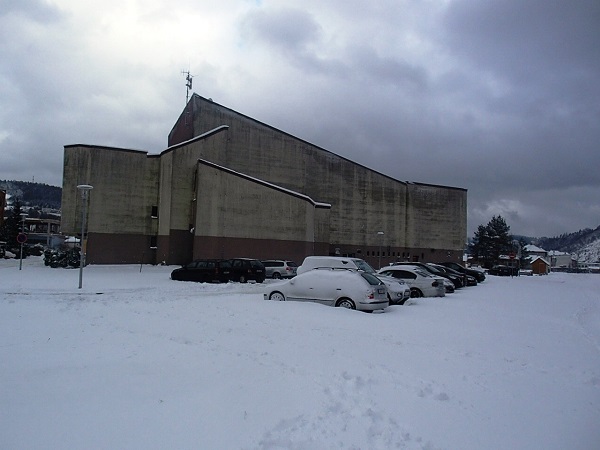
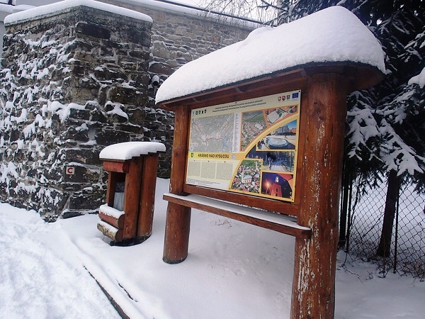
If you plan to start in Krásno nad Kysucou and you travel by car, you can park in a relatively large parking lot near the Town Hall (behind the building of the Geography Museum). Put on your hiking shoes and you can set off on your hike right on the cycling trail.
There are numerous information boards and resting points on the route. You can adjust the length of the route according to your strengths and capabilities. Don't forget to count on the way back, either on skis or by the local bus transport from the above-mentioned villages to the starting point - Krásno nad Kysucou.

Fotogaléria: