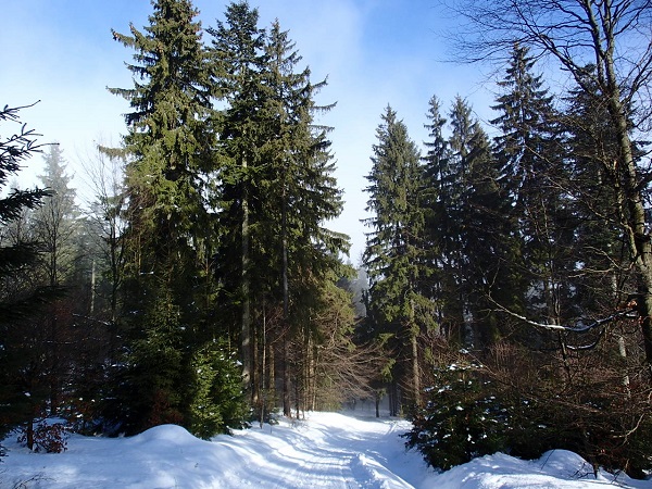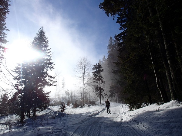
 The Beskydy - Javorníky cross-country skiing route is undoubtedly the most popular winter cross-country skiing route in Kysuce. The main ridge of the highway, passing through the Javorníky mountains, is divided into several sub-routes. Semeteš - Melocík is one of them.
The popularity of this section of the route arises from several facts. Good accessibility (by bus and car) and availability of refreshments at the beginning and end of the route certainly play an important role. The natural scenery itself and the regular maintenance of the track provided by the Žilina self-governing region cannot be neglected.
The settlement of Semeteš is a part of Vysoká nad Kysucou and connects this village with Veľké Rovné, i.e., it is a connection line between the regions of Kysuce and Horné Považie. Semeteš is the starting point of the walking and running route to Javorníky, but above all, it is a place with an interesting, though tragic past. Its history is documented by a monument near the main road (read more at this link). A notable personality representing the Slovak visual arts the academic sculptor Miroslav Cipár was born in the village. His work SEM SA TEŠ can be seen directly opposite the Tourist Hostel (tavern and shop) at the part u Cipára.
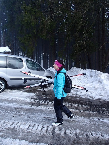
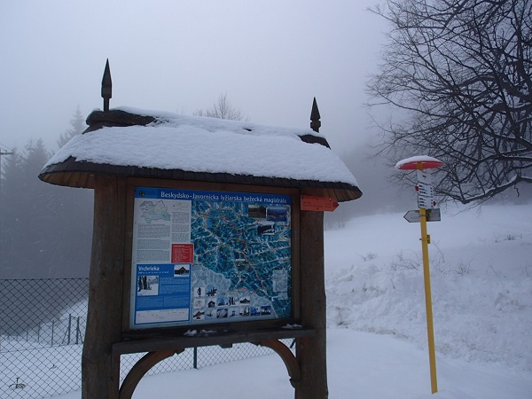
The hostel is the point where our route begins. It is possible to park directly in front of the building or use a parking space under the main information board. Be considerate when parking, as buses turn around here and need more space. There is also a smaller parking lot above an orphanage seated at the village. The bus stop is called Vysoká nad Kysucou, Semeteš, u Cipára.
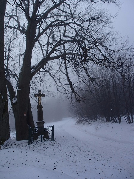
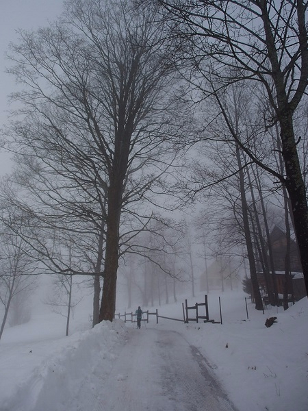
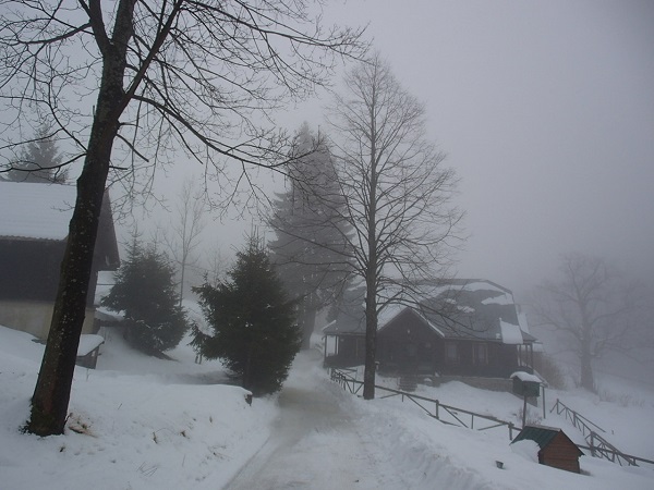
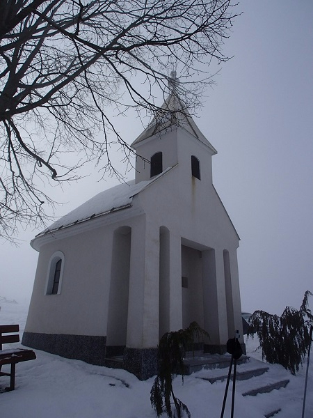
The route starts with a steep climb past the orphanage. It then bypasses the settlement Solíkovci and continues following the yellow marked trail to the settlement Vrchrieka. If there is enough snow, you can go directly through the settlement Solíkovci. The trail is less demanding, and the picturesque wooden cottages will certainly please your eyes. After approximately 2.5 km, you will reach the place called Vrchrieka, which is the birthplace of a famous tinsmith Štefan Hunčík. The stone cross and a few massive lime trees mean the start of a long steep climb awaiting. If you like lookout points, be sure not to miss the one on Luby. It is a bit off the beaten track, but the arrows on the trees will guide you right to it. If you want to make your way to the chapel on Záblatie even more pleasant, just take a short break to sit at a well. From the chapel, you shall continue 1km straight along the road (frequented by cars) to Melocík, where you can get some refreshments in the local restaurant after about 6.5 km. If you feel strong enough, continue towards Makov - Kasárne.
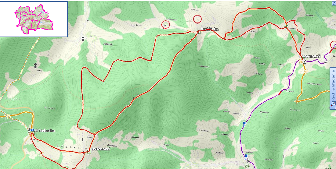
Altitude profile:

Characteristics of the route:
A popular 6.5 km long route leads through the Javorníky Mountains from the village of Semeteš in Vysoká nad Kysucou to Melocík in Kolárovice (or in the opposite direction). It is characterized by a higher elevation and a steep ascend or descend in the opposite direction; it is therefore unsuitable for absolute beginners. Some sections with icy surface should be ridden carefully. There is a big plus of the route i.e., refreshment facilities available at the beginning and end of the route, bus connections and beautiful natural scenery. There are a few diversions possible (e.g. through Solíkovci settlement) that make the route even more attractive.
Gallery