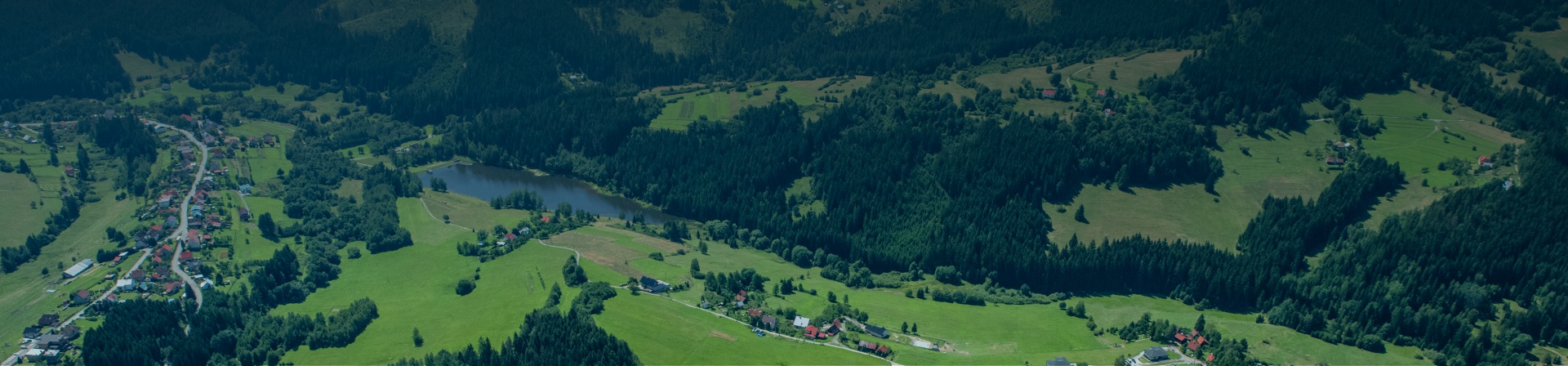
 The source of the river that gave the name to the entire region can be reached by several routes.
1st option:
Path length: 14 km / 4:15 h, Elevation: 330 m, Difficulty: medium
Path description: Makov (Center) – Makov (Čierne) – Osada U Lovasov – Čemerky – Kopanice – spring Kysuce – Kopanice – Makov Center
Characteristics: Circular route from the centre of Makov through picturesque mountain settlements. Setting off from Kopanice, you will follow the yellow marked route to one of the springs of the Kysuca river. From the point, you will get back to Kopanice and to the centre of the village along the main road.
2nd option:
Path length: 7.8 km
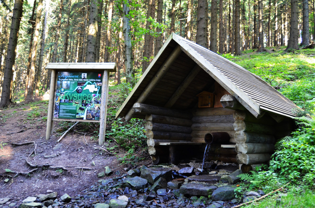
Characteristics: You can reach the source of the Kysuca river from Makov, Kopanice by following the yellow tourist sign (8549) to Sedlo pod Lemešnová. Then, you shall follow the red tourist sign (0842) in the direction of Sedlo pod Hričovec and a steep climb to Pod Soliskom. You shall continue following the new yellow tourist sign (8693) another 1 km to the well-kept source of the Kysuca river. There is a roofed gazebo which is a nice place to have a short rest and to read some interesting facts on the information panel. Finally, it is time to take some water from the water source and get back.
Gallery


https://www.regionkysuce.sk/en/sport-opportunities/hiking-trails/1317-source-of-the-kysuca-river#sigProId83e8a864bb
